Reality, Digitized. From the
Surface to the Subsurface.
We eliminate the guesswork for you. 3D Geoscan combines advanced 3D laser scanning with subsurface detection. We provide the reliable data foundation required for smart design, clash-free execution, and asset management in all sectors.
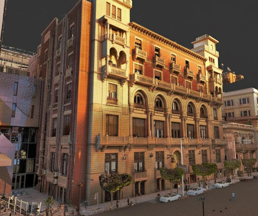
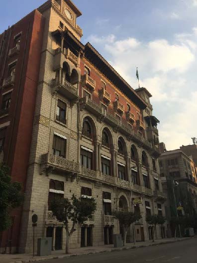
3D Laser Scanning
Precision Reality Capture for Complex Environments
Our advanced LiDAR technology captures millions of precise data points to generate a point cloud that perfectly matches the physical environment.
Key Features
Application
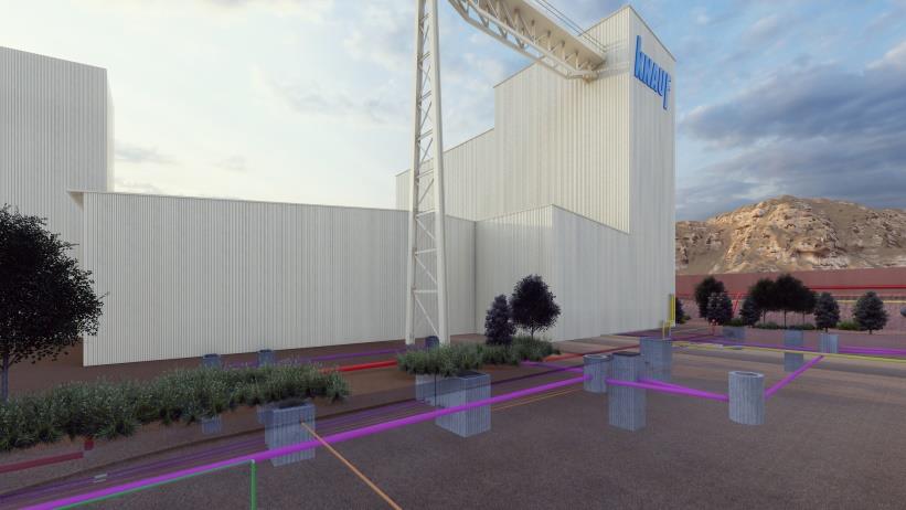
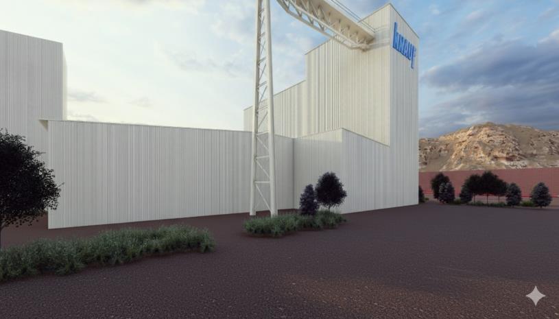
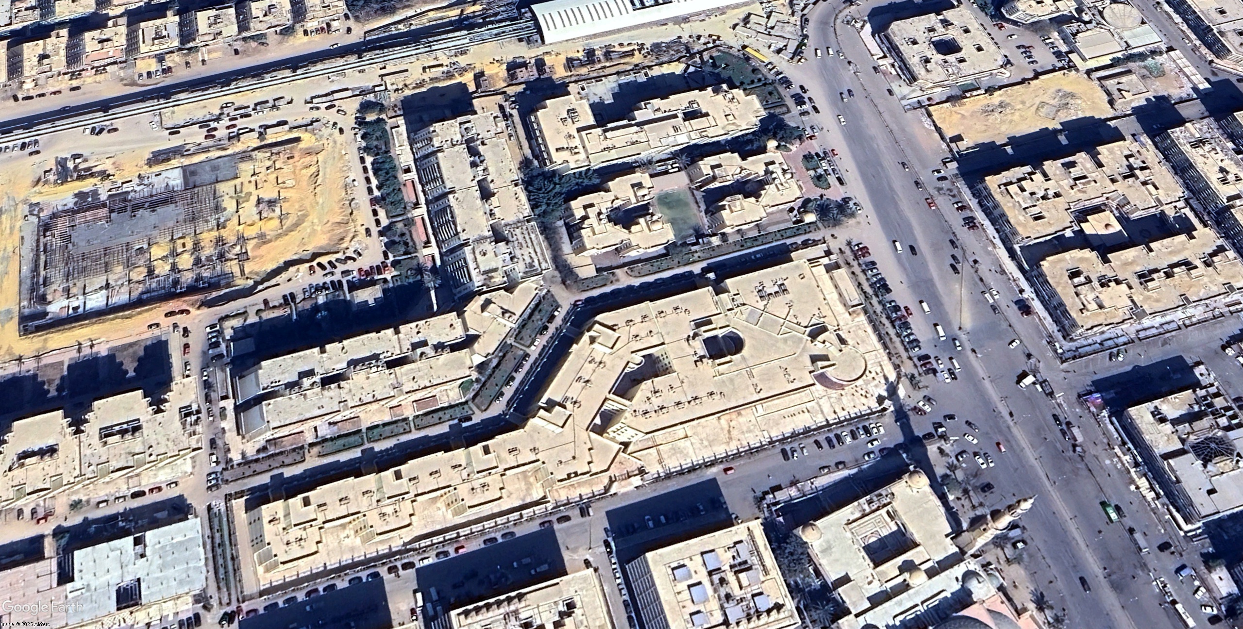
Underground Utilities
A clear view of everything above and below the ground in one place
We provide comprehensive subsurface utility detection services. We map the invisible infrastructure beneath your site to prevent costly utility strikes and project delays
Key Features
Application
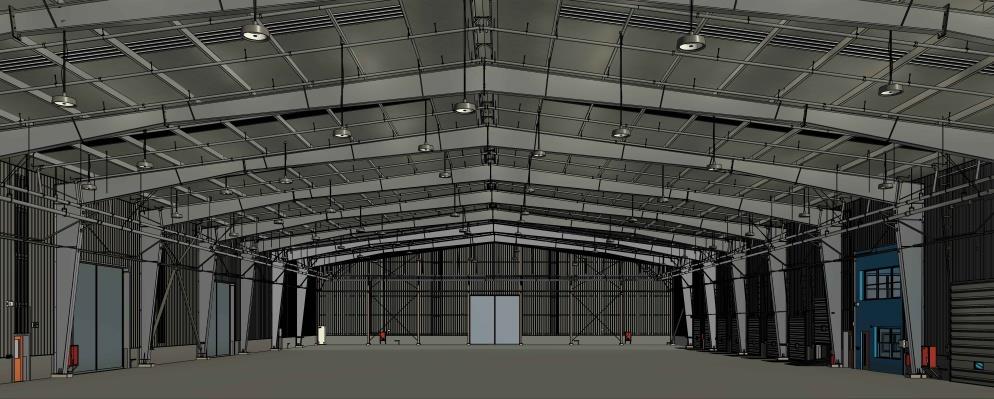
Digital Twin
Exact digital version of every industry
We create highly accurate 1:1 digital twins, a powerful tool for monitoring, simulating and managing your project by combining 3D scanning with real-time data.
Key Features
Application
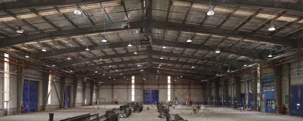
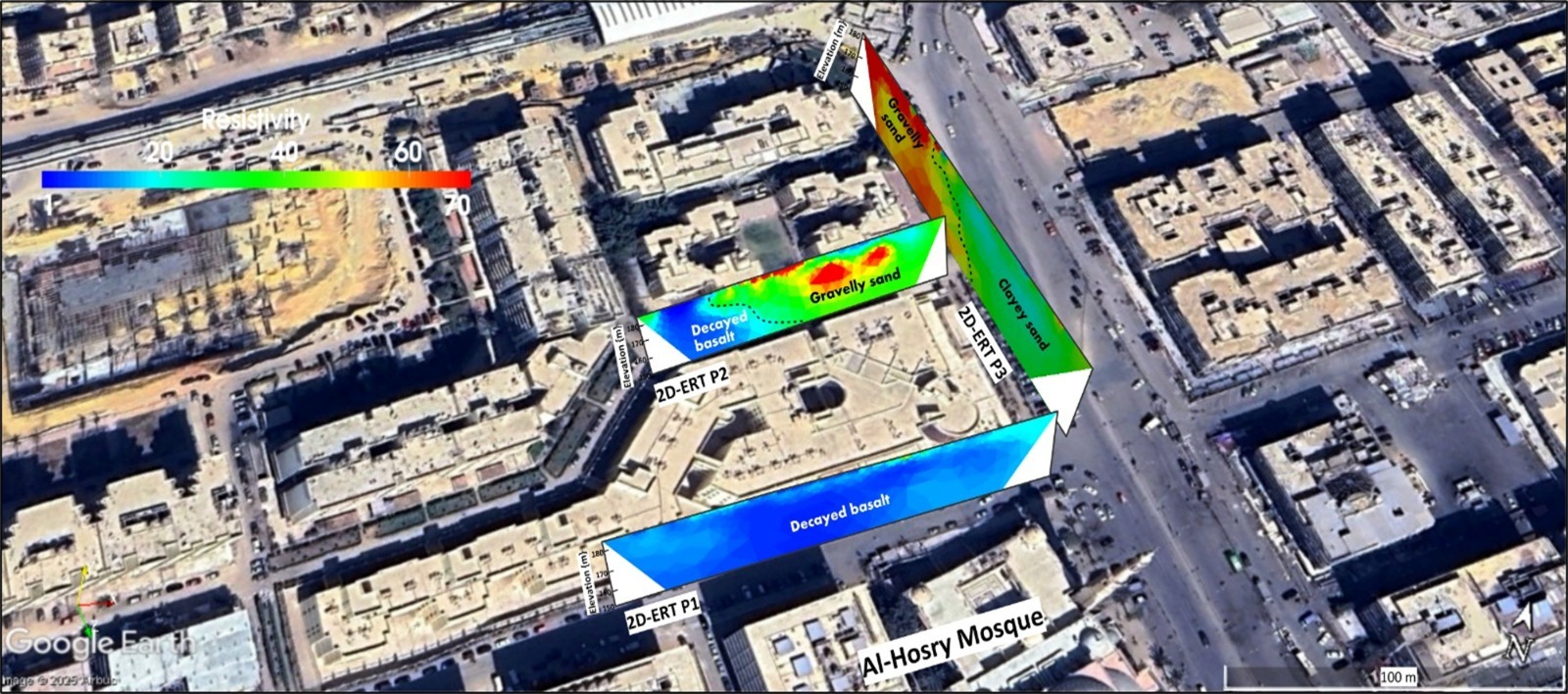
Geophysical Studies
Revealing the Hidden Earth with Digital Precision
We go beyond the surface to provide high quality data on ground materials , composition and stability. A clear look at the earth below to avoid potential risks and ensure safety.
Key Features
Application
Ready To Start Your Project?
Get in touch to discuss how our expertise can transform your next project.
Contact Us